battle, major, Cold War
Indonesian invasion of East Timor
Indonesian invasion of East Timor was a battle fought in 1975 at Portuguese Timor, in what is now Timor-Leste; it lasted about 4 years. Its exact site is not recorded; the atlas places it at Portuguese Timor. It was part of the Cold War in Asia. The recorded result: Indonesian victory; Indonesian occupation of East Timor; East Timor genocide. Recorded strength: 35,000 against 20,000.
See it on the globe Read the article
Where it sits in the Cold War in Asia
Record
| Date | 1975 (year precision) to 1979 | |
|---|---|---|
| Place | Portuguese Timor, Timor-Leste 8.555S, 125.579E | |
| Kind | Battle, Cold War | |
| Territorial change | Indonesian occupation of East Timor until 1999; East Timor became an Indonesian province | |
| Strength | 35,000 | 20,000 |
| Casualties and losses | 1,000 killed, wounded or captured | 185,000+ killed, wounded or captured (1974–1999); (including civilians) |
| Commanders |
|
|
The ground today
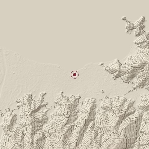
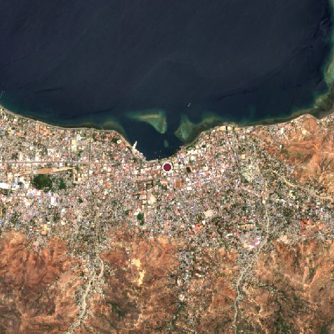
The recorded site stands at about 6 m; within 10.0 km the ground runs from 0 to 744 m, 744 m of relief, steep country and today it is 38% water, 35% built-up, 19% tree cover.
Elevation from the Copernicus DEM GLO-30 (ESA, Airbus); land cover from ESA WorldCover 2021 (CC BY 4.0), within about 5 km of the recorded site. Computed, not recorded.Nearest engagements
- Battle of Penfui 1749, 276 km SW
- Battle of Timor 1942, 295 km SW
- Battle of Ambon 1942, 606 km NE
- Action of 26 July 1806 1806, 678 km NW
- Raid on Darwin 1943, 719 km SE
In the same war
- Before: Operation Flamboyan 1975
- After: Battle of Baucau 1975
- All 5 engagements of Cold War in Asia
Elsewhere in 1975
- Fall of Saigon Vietnam
- Green March Morocco
- Operation Frequent Wind Vietnam
- Cuban intervention in Angola Angola
- Operation Babylift Vietnam
Indonesian invasion of East Timor is one of 4,429 engagements of the 20th century in the atlas and one of 8 in present-day Timor-Leste.
Sources
Identity, coordinates, dates and the war from Wikidata Q2583734, released under CC0. Result, belligerents, commanders, strength and casualties from the infobox of the English Wikipedia article Indonesian invasion of East Timor, revision 1380685638, read 2026-11-15, licensed CC BY-SA 4.0; the article's text is not reproduced here. Present-day country and state from Natural Earth. Dates before 1582 follow the Julian calendar as recorded.