battle, major, nineteenth century
Jameson Raid
Jameson Raid was a battle fought in 1895 at South African Republic, in what is now South Africa; it ran into the following year. Its exact site is not recorded; the atlas places it at South African Republic. It was part of military history of South Africa. The recorded result: South African Republic victory, see: Aftermath.
See it on the globe Read the article

Record
| Date | 1895 (year precision) to 1896 | |
|---|---|---|
| Place | South African Republic, South Africa 25.717S, 28.233E | |
| Kind | Battle, nineteenth century | |
| Casualties and losses | 18 killed; 40 wounded | 4 killed; 5 wounded |
| Commanders |
| |

The ground today
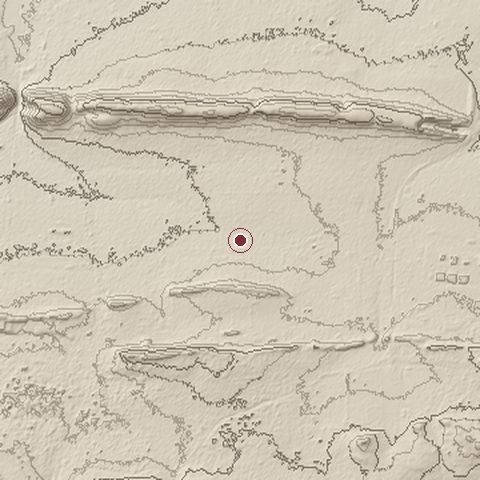
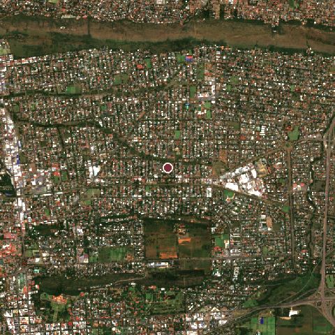
The recorded site stands at about 1,283 m; within 10.0 km the ground runs from 1,218 to 1,466 m, 248 m of relief, hilly country and today it is 50% built-up, 31% tree cover, 12% grassland.
Elevation from the Copernicus DEM GLO-30 (ESA, Airbus); land cover from ESA WorldCover 2021 (CC BY 4.0), within about 5 km of the recorded site. Computed, not recorded.Nearest engagements
- Siege of Marabastad 1881, 6.4 km SW
- Battle of Rooiwal 1902, 19 km N
- Battle of Elandsfontein 1881, 20 km W
- Battle of Rooihuiskraal 1881, 21 km SW
- Battle of Diamond Hill 1900, 25 km E
Elsewhere in 1895
- Japanese invasion of Taiwan Taiwan
- Battle of Amba Alagi Ethiopia
- Battle of Weihaiwei People's Republic of China
- Battle of Yingkou People's Republic of China
- Pescadores Campaign Taiwan
Jameson Raid is one of 3,694 engagements of the 19th century in the atlas and one of 95 in present-day South Africa.
Sources
Identity, coordinates, dates and the war from Wikidata Q916340, released under CC0. Result, belligerents, commanders, strength and casualties from the infobox of the English Wikipedia article Jameson Raid, revision 1381260114, read 2026-11-15, licensed CC BY-SA 4.0; the article's text is not reproduced here. Present-day country and state from Natural Earth. Dates before 1582 follow the Julian calendar as recorded.