battle, landmark, early modern
Japanese invasions of Korea
Japanese invasions of Korea was a battle fought in 1592 at Korean Peninsula, in what is now South Korea; it lasted about 6 years. Its exact site is not recorded; the atlas places it at Korean Peninsula. It was part of history of Japan–Korea relations. The recorded result: Joseon and Ming victory.
See it on the globe Read the article
Record
| Date | 1592 (year precision) to 1598 | |
|---|---|---|
| Place | Korean Peninsula, South Korea 37.500N, 127.000E | |
| Kind | Battle, early modern | |
| Territorial change | Status quo ante bellum | |
| Strength | Joseon:84,500+–192,000 (including sailors and insurgent fighters) | |
| Commanders |
|
|


The ground today
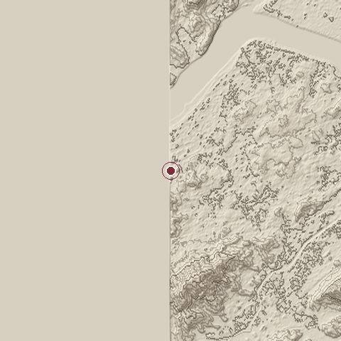
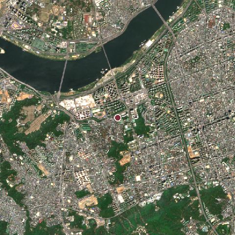
The recorded site stands at about 24 m; within 10.0 km the ground runs from 0 to 290 m, 290 m of relief, hilly country and today it is 64% built-up, 22% tree cover, 11% water.
Elevation from the Copernicus DEM GLO-30 (ESA, Airbus); land cover from ESA WorldCover 2021 (CC BY 4.0), within about 5 km of the recorded site. Computed, not recorded.Nearest engagements
- Operation Killer 1951, 5.1 km N
- Third Battle of Seoul 1950, 7.9 km N
- Japanese occupation of Gyeongbokgung 1894, 9.0 km N
- Siege of Haengju 1593, 18 km NW
- Battle of Uijeongbu 1951, 27 km N
In the same war
- After: Ganghwa Island incident 20 September 1875
Elsewhere in 1592
- Battle of Okpo South Korea
- Siege of Busan South Korea
- Battle of Hansan Island South Korea
- Battle of Sacheon South Korea
- Battle of Sangju South Korea
Japanese invasions of Korea is one of 1,470 engagements of the 16th century in the atlas and one of 128 in present-day South Korea.
Sources
Identity, coordinates, dates and the war from Wikidata Q576338, released under CC0. Result, belligerents, commanders, strength and casualties from the infobox of the English Wikipedia article Imjin War, revision 1385107759, read 2026-11-15, licensed CC BY-SA 4.0; the article's text is not reproduced here. Present-day country and state from Natural Earth. Dates before 1582 follow the Julian calendar as recorded.