battle, major, medieval
Mongol invasion of Java
Mongol invasion of Java was a battle fought in 1293 at East Java, in what is now Indonesia. Its exact site is not recorded; the atlas places it at East Java. It was part of Kublai Khan's Campaigns, which ran from 1266 to 1293. The recorded result: Majapahit victory. Recorded strength: 20,000–30,000; 500–1,000 ships against 10,000.
See it on the globe Read the article
Where it sits in Kublai Khan's Campaigns
Record
| Date | 1293 (year precision) to 1293 | |
|---|---|---|
| Place | East Java, Indonesia 7.700S, 112.500E | |
| Kind | Battle, medieval | |
| Territorial change | Establishment of the Majapahit Empire | |
| Strength | 20,000–30,000; 500–1,000 ships | 10,000 |
| Commanders |
|
|
The ground today
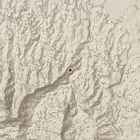
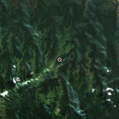
The recorded site stands at about 988 m; within 10.0 km the ground runs from 306 to 2,206 m, 1,900 m of relief, mountainous country and today it is 86% tree cover, 14% grassland.
Elevation from the Copernicus DEM GLO-30 (ESA, Airbus); land cover from ESA WorldCover 2021 (CC BY 4.0), within about 5 km of the recorded site. Computed, not recorded.Nearest engagements
- Battle of Surabaya 1945, 56 km NE
- Battle of Gegodog 1676, 92 km N
- Siege of Surakarta 1949, 186 km W
- Battle of Gawok 1826, 193 km W
- Fall of Plered 1677, 231 km W
In the same war
- Before: Battle of Pagan 1287
- After: Battle of Daha 1293
- All 6 engagements of Kublai Khan's Campaigns
Elsewhere in 1293
- Battle of Zonglos Greece
Mongol invasion of Java is one of 629 engagements of the 13th century in the atlas and one of 106 in present-day Indonesia.
Sources
Identity, coordinates, dates and the war from Wikidata Q2672432, released under CC0. Result, belligerents, commanders, strength and casualties from the infobox of the English Wikipedia article Mongol invasion of Java, revision 1370859328, read 2026-11-15, licensed CC BY-SA 4.0; the article's text is not reproduced here. Present-day country and state from Natural Earth. Dates before 1582 follow the Julian calendar as recorded.