battle, major, medieval
Norman invasion of Ireland
Norman invasion of Ireland was a battle fought in 1169 at Ireland; it lasted about 6 years. Its exact site is not recorded; the atlas places it at Ireland. The recorded result: Treaty of Windsor (1175); partial Norman victory.
See it on the globe Read the article

Record
| Date | 1169 (year precision) to 1175 | |
|---|---|---|
| Place | Ireland 53.351N, 7.921W | |
| Kind | Battle, medieval | |
| Territorial change | Large swathes of Ireland absorbed into the Lordship of Ireland | |
| Commanders |
|
|
The ground today
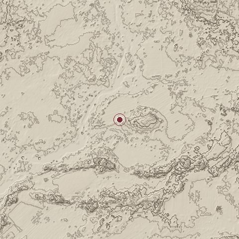
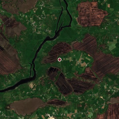
The recorded site stands at about 35 m; within 10.0 km the ground runs from 26 to 84 m, 59 m of relief, gently rolling country and today it is 78% grassland, 11% tree cover, 4% wetland.
Elevation from the Copernicus DEM GLO-30 (ESA, Airbus); land cover from ESA WorldCover 2021 (CC BY 4.0), within about 5 km of the recorded site. Computed, not recorded.Nearest engagements
- Siege of Athlone 1691, 9.4 km N
- Siege of Athlone 1690, 9.4 km N
- Battle of Meelick Island 1650, 23 km SW
- Battle of Aughrim 1691, 27 km W
- Battle of Loch Trethin AD 634, 43 km NE
Elsewhere in 1169
- Siege of Badajoz Spain
- Siege of Damietta Egypt
- Siege of Wexford Ireland
Norman invasion of Ireland is one of 459 engagements of the 12th century in the atlas and one of 120 in present-day Ireland.
Sources
Identity, coordinates, dates and the war from Wikidata Q901714, released under CC0. Result, belligerents, commanders, strength and casualties from the infobox of the English Wikipedia article Anglo-Norman invasion of Ireland, revision 1379777215, read 2026-11-15, licensed CC BY-SA 4.0; the article's text is not reproduced here. Present-day country and state from Natural Earth. Dates before 1582 follow the Julian calendar as recorded.