battle, landmark, Cold War
Suez Crisis
Suez Crisis was a battle fought in 1957 at Sinai Peninsula, in what is now Egypt. Its exact site is not recorded; the atlas places it at Sinai Peninsula. It was part of the Arab–Israeli conflict. The recorded result: See § Aftermath. Recorded strength: 175,000; 45,000; 34,000 against 90,000.
See it on the globe Read the article
Where it sits in the Arab–Israeli conflict
Record
| Date | 1957 (year precision) | |
|---|---|---|
| Place | Sinai Peninsula, Egypt 29.500N, 34.000E | |
| Kind | Battle, Cold War | |
| Territorial change | Israeli occupation of the Sinai Peninsula and the Gaza Strip until March 1957 | |
| Strength | 175,000; 45,000; 34,000 | 90,000 |
| Casualties and losses | Israel:172 killedUnited Kingdom:22 killedFrance:10 killed | 1,650–3,000 killed; 215+ aircraft destroyed; 1,000 civilians killed |
| Commanders |
|
|

The ground today
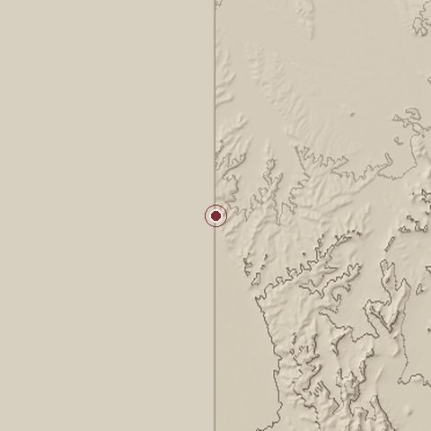
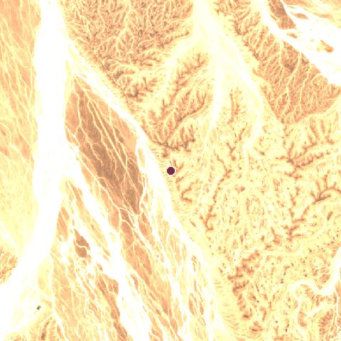
The recorded site stands at about 732 m; within 10.0 km the ground runs from 0 to 865 m, 865 m of relief, steep country and today it is 98% bare ground, 2% grassland.
Elevation from the Copernicus DEM GLO-30 (ESA, Airbus); land cover from ESA WorldCover 2021 (CC BY 4.0), within about 5 km of the recorded site. Computed, not recorded.Nearest engagements
- Raid on Bir el Hassana 1917, 51 km NW
- Raid on Nekhl 1917, 51 km NW
- Ein Netafim ambush 1990, 85 km E
- 19th Battalion Night Post Battle 1967, 130 km NW
- Operation Raviv 1969, 138 km W
In the same war
- Before: Battle of Burullus 1956
- After: Operation Opera 1981
- All 6 engagements of Arab–Israeli conflict
Elsewhere in 1957
- Battle of Bouzegza France
- Battle of Fellaoucene France
- Battle of La Plata Cuba
- 1957 United States Air Force incursion into Albanian airspace Albania
- Ambush of Oued Zeggar Algeria
Suez Crisis is one of 4,429 engagements of the 20th century in the atlas and one of 144 in present-day Egypt.
Sources
Identity, coordinates, dates and the war from Wikidata Q49101, released under CC0. Result, belligerents, commanders, strength and casualties from the infobox of the English Wikipedia article Suez Crisis, revision 1385353995, read 2026-11-15, licensed CC BY-SA 4.0; the article's text is not reproduced here. Present-day country and state from Natural Earth. Dates before 1582 follow the Julian calendar as recorded.