battle, major, medieval
Umayyad invasion of Gaul
Umayyad invasion of Gaul was a battle fought in AD 719 at France, in what is now Italy; it lasted about 40 years. Its exact site is not recorded; the atlas places it at France. It was part of Muslim conquests, which ran from AD 622 to AD 750. The recorded result: Frankish victory.
See it on the globe Read the article
Where it sits in Muslim conquests
Record
| Date | AD 719 (year precision) to AD 759 | |
|---|---|---|
| Place | France, Italy 42.500N, 12.500E | |
| Kind | Battle, medieval | |
| Territorial change | Francia conquers Septimania | |
| Commanders |
|
|


The ground today
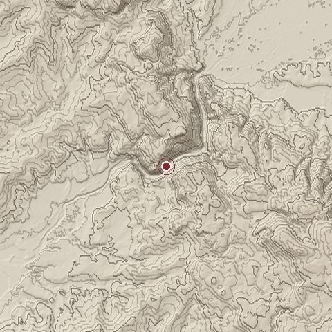
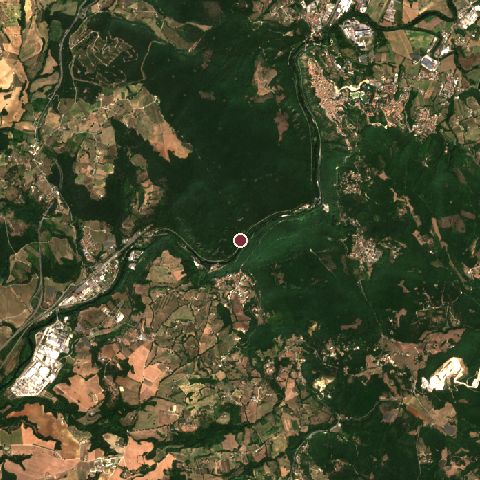
The recorded site stands at about 91 m; within 10.0 km the ground runs from 56 to 622 m, 566 m of relief, steep country and today it is 77% tree cover, 13% grassland, 5% cropland.
Elevation from the Copernicus DEM GLO-30 (ESA, Airbus); land cover from ESA WorldCover 2021 (CC BY 4.0), within about 5 km of the recorded site. Computed, not recorded.Nearest engagements
- Fall of the Republic of Venice 1790, same recorded site
- Battle of Lake Vadimo 310 BC, 15 km W
- Battle of Lake Vadimo 283 BC, 15 km W
- Battle of Rieti 1821, 32 km E
- Siege of Viterbo 1243, 34 km W
In the same war
- Before: Umayyad conquest of Hispania AD 711
- After: Siege of Narbonne AD 719
- All 19 engagements of Muslim conquests
Umayyad invasion of Gaul is one of 158 engagements of the 8th century in the atlas and one of 1,038 in present-day Italy.
Sources
Identity, coordinates, dates and the war from Wikidata Q129124, released under CC0. Result, belligerents, commanders, strength and casualties from the infobox of the English Wikipedia article Umayyad invasion of Gaul, revision 1382799081, read 2026-11-15, licensed CC BY-SA 4.0; the article's text is not reproduced here. Present-day country and state from Natural Earth. Dates before 1582 follow the Julian calendar as recorded.