battle, landmark, Cold War
United States invasion of Panama
United States invasion of Panama was a battle fought in 1989 at Panama; it ran into the following year. Its exact site is not recorded; the atlas places it at Panama. It was part of the war on drugs. The recorded result: American victory.
See it on the globe Read the article
Where it sits in the war on drugs
Record
| Date | 1989 (year precision) to 1990 | |
|---|---|---|
| Place | Panama 8.617N, 80.367W | |
| Kind | Battle, Cold War | |
| Commanders |
|
|

The ground today
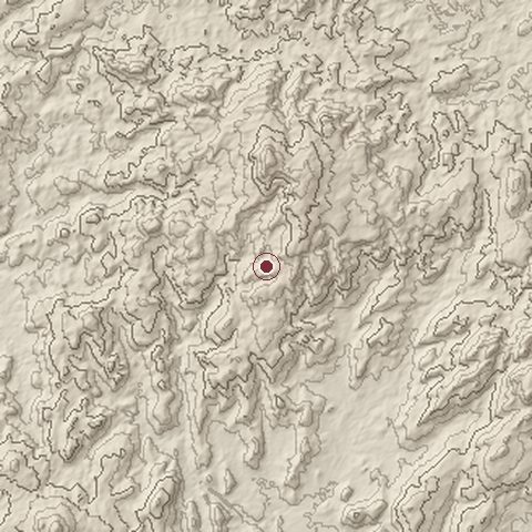
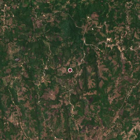
The recorded site stands at about 419 m; within 10.0 km the ground runs from 76 to 690 m, 614 m of relief, steep country and today it is 80% tree cover, 20% grassland.
Elevation from the Copernicus DEM GLO-30 (ESA, Airbus); land cover from ESA WorldCover 2021 (CC BY 4.0), within about 5 km of the recorded site. Computed, not recorded.Nearest engagements
- Battle of Aguadulce 1901, 46 km SW
- Battle of Mata Asnillos 1671, 106 km NE
- Blockade of Porto Bello 1726, 129 km NE
- Henry Morgan's raid on Porto Bello 1668, 130 km NE
- Battle for the Río San Juan de Nicaragua 1762, 516 km NW
In the same war
Elsewhere in 1989
- Gulf of Sidra incident
- Battle of Amgala Western Sahara
- Battle of Guelta Zemmour Morocco
- Battle of Jalalabad Afghanistan
- Battle of Hausa Morocco
United States invasion of Panama is one of 4,429 engagements of the 20th century in the atlas and one of 12 in present-day Panama.
Sources
Identity, coordinates, dates and the war from Wikidata Q459282, released under CC0. Result, belligerents, commanders, strength and casualties from the infobox of the English Wikipedia article United States invasion of Panama, revision 1383654790, read 2026-11-15, licensed CC BY-SA 4.0; the article's text is not reproduced here. Present-day country and state from Natural Earth. Dates before 1582 follow the Julian calendar as recorded.